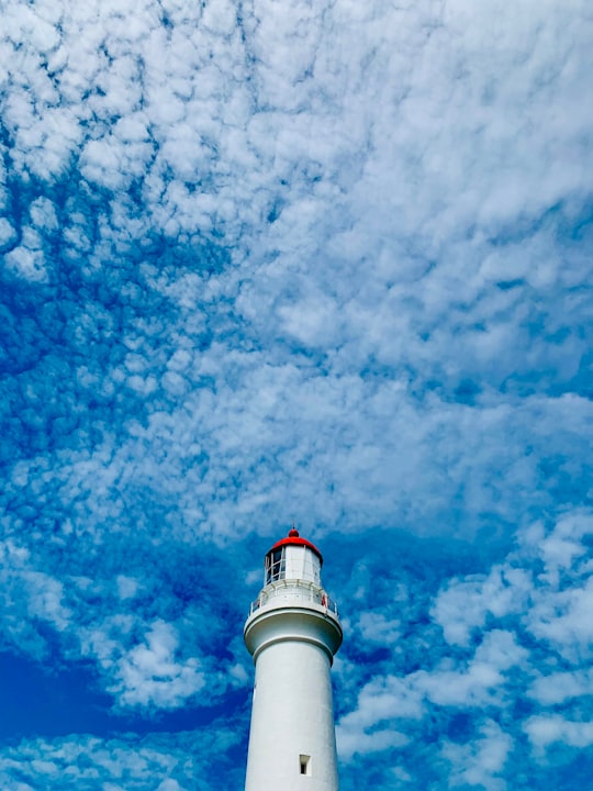
Travel Guide of Aireys Inlet VIC in Australia by Influencers and Travelers
Aireys Inlet is a small coastal inlet and town located on the Great Ocean Road, southwest of Melbourne, Victoria, Australia. Aireys Inlet is located between Anglesea and Lorne, and joined with Fairhaven to the west.
Download the Travel Map of Australia on Google Maps here
The Best Things to Do and Visit in Aireys Inlet VIC
TRAVELERS TOP 10 :
- Great Ocean Road
- Anglesea VIC
- Aireys Inlet
- Lorne
- Erskine Falls Road
- Erskine Falls
- Bells Beach
- Torquay
- Barwon Heads
- Wongarra VIC 3234
1 - Great Ocean Road
9 km away
The Great Ocean Road is an Australian National Heritage listed 243-kilometre stretch of road along the south-eastern coast of Australia between the Victorian cities of Torquay and Allansford.
Learn more Book this experience
2 - Anglesea VIC
9 km away
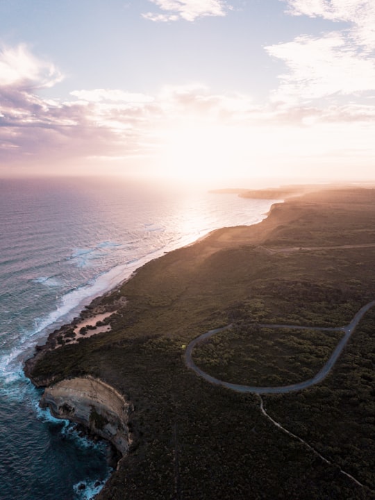
Anglesea is a town in Victoria, Australia. It is located on the Great Ocean Road in the Surf Coast Shire local government area. In the 2016 census, Anglesea had a population of 2,545 people. Originally known as Swampy Creek, the area's name was changed to Anglesea River in 1884 when the township was established. A Post Office under that name opened on 16 April 1886. and was renamed Anglesea in 1950. The name is ultimately named after Anglesey which is an island in North Wales. Alcoa of Australia operated a power station and open-cut coal mine near the town from 1969 until August 2015. The site is now the subject of restorative work. In February 1983, the Ash Wednesday fires swept through the area, destroying many houses.
Learn more
3 - Aireys Inlet
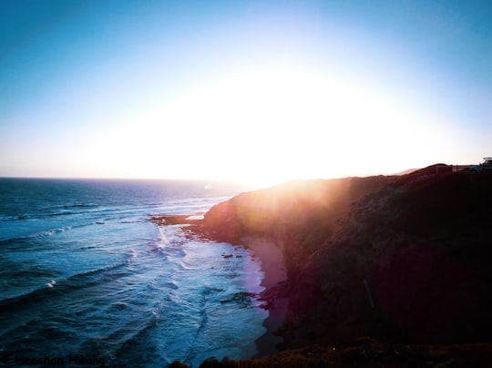
Aireys Inlet is a small coastal inlet and town located on the Great Ocean Road, southwest of Melbourne, Victoria, Australia. Aireys Inlet is located between Anglesea and Lorne, and joined with Fairhaven, Moggs Creek, and Eastern View to the west.
Learn more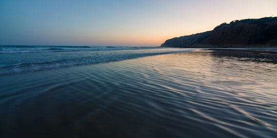
4 - Lorne
14 km away
Lorne is a seaside town on Louttit Bay in Victoria, Australia. It is situated about the Erskine River and is a popular destination on the Great Ocean Road tourist route.
Learn more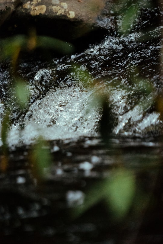
5 - Erskine Falls Road
18 km away
Learn more
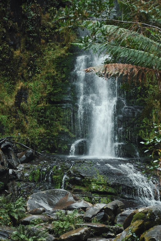
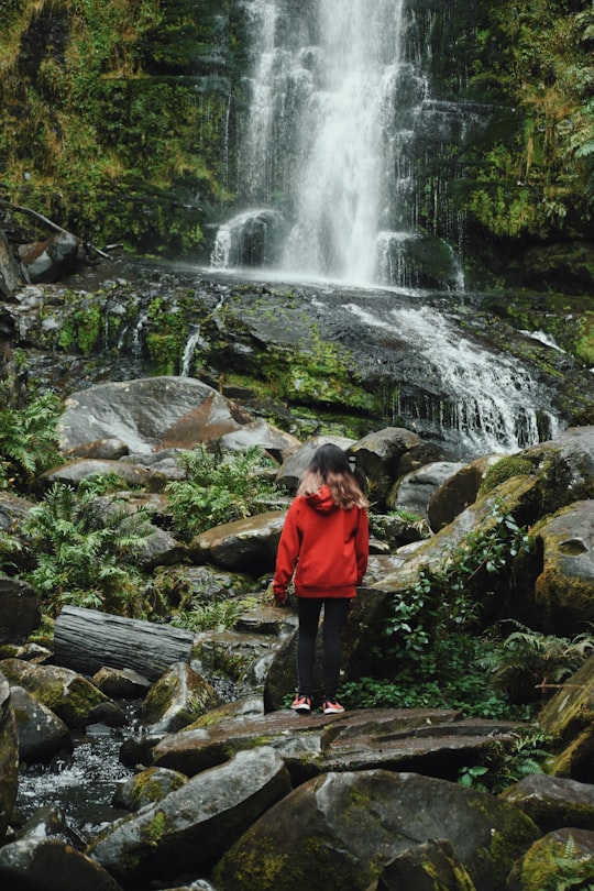
6 - Erskine Falls
18 km away
Learn more Book this experience
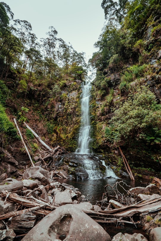
7 - Bells Beach
19 km away
Bells Beach is a coastal locality of Victoria, Australia in Surf Coast Shire and a renowned surf beach, located 100 km south-west of Melbourne, on the Great Ocean Road near the towns of Torquay and Jan Juc.
Learn more Book this experience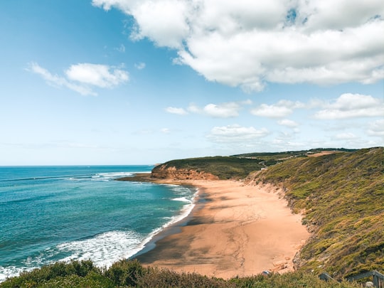

8 - Torquay
23 km away
Torquay is a seaside resort in Victoria, Australia, which faces Bass Strait, 21 km south of Geelong and is the gateway to the Great Ocean Road. It is bordered on the west by Spring Creek and its coastal features include Point Danger and Zeally Bay. At the 2016 Census, Torquay had a population of 13,258.
Learn more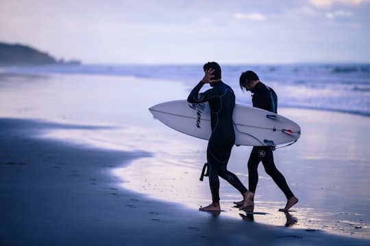
9 - Barwon Heads
39 km away
Barwon Heads is a coastal township on the Bellarine Peninsula, near Geelong, Victoria, Australia. It is situated on the west bank of the mouth of the Barwon River below Lake Connewarre, while it is bounded to the west by farmland, golf courses and the ephemeral saline wetland Murtnaghurt Lagoon.
Learn more
10 - Wongarra VIC 3234
39 km away
Wongarra is a coastal locality in the Shire of Colac Otway, Victoria, Australia. In the 2016 census, Wongarra had a population of 37.
Learn more
11 - Geelong VIC
41 km away
Geelong is a port city located on Corio Bay and the Barwon River, in the state of Victoria, Australia. Geelong is 75 kilometres south-west of the state capital, Melbourne.
Learn more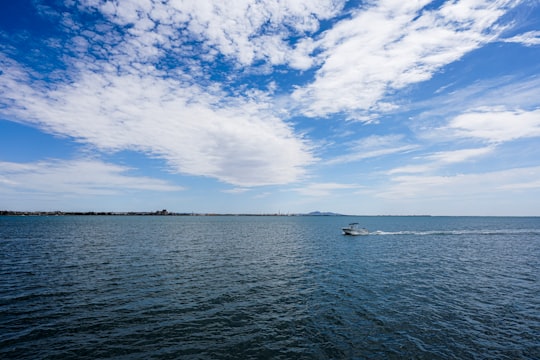
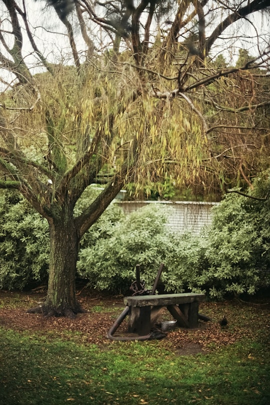
Disover the best Instagram Spots around Aireys Inlet VIC here
Book Tours and Activities in Aireys Inlet VIC
Discover the best tours and activities around Aireys Inlet VIC, Australia and book your travel experience today with our booking partners
Pictures and Stories of Aireys Inlet VIC from Influencers
Picture from Vidisha Sanghvi who have traveled to Aireys Inlet VIC
Plan your trip in Aireys Inlet VIC with AI 🤖 🗺
Roadtrips.ai is a AI powered trip planner that you can use to generate a customized trip itinerary for any destination in Australia in just one clickJust write your activities preferences, budget and number of days travelling and our artificial intelligence will do the rest for you
👉 Use the AI Trip Planner
Why should you visit Aireys Inlet VIC ?
Travel to Aireys Inlet VIC if you like:
🏖️ Surfing ⛰️ Cliff 🏞️ Waterfall 🏖️ Coast ⛰️ Hill 🏖️ BeachWhere to Stay in Aireys Inlet VIC
Discover the best hotels around Aireys Inlet VIC, Australia and book your stay today with our booking partner booking.com
More Travel spots to explore around Aireys Inlet VIC
Click on the pictures to learn more about the places and to get directions
Discover more travel spots to explore around Aireys Inlet VIC
🏖️ Shore spots 🚢 Lighthouse spotsTravel map of Aireys Inlet VIC
Explore popular touristic places around Aireys Inlet VIC
Download On Google Maps 🗺️📲
